| Latitude | Longitude | Distance to reference | Best Offset (m) | Offset Range (m) | Quality Rating | Comment |
|---|---|---|---|---|---|---|
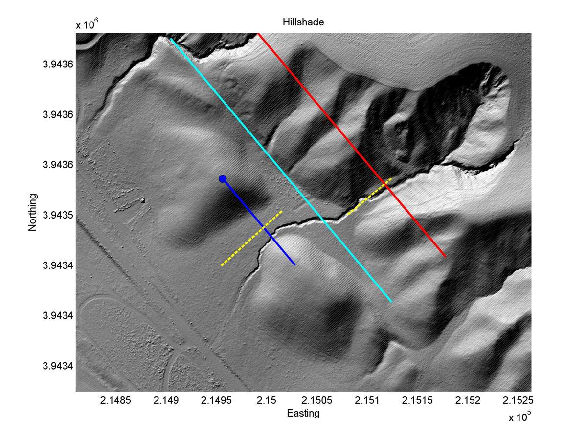
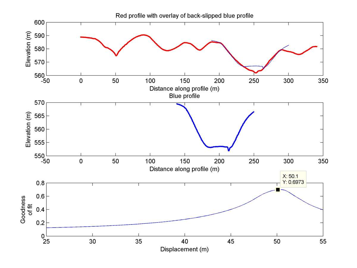
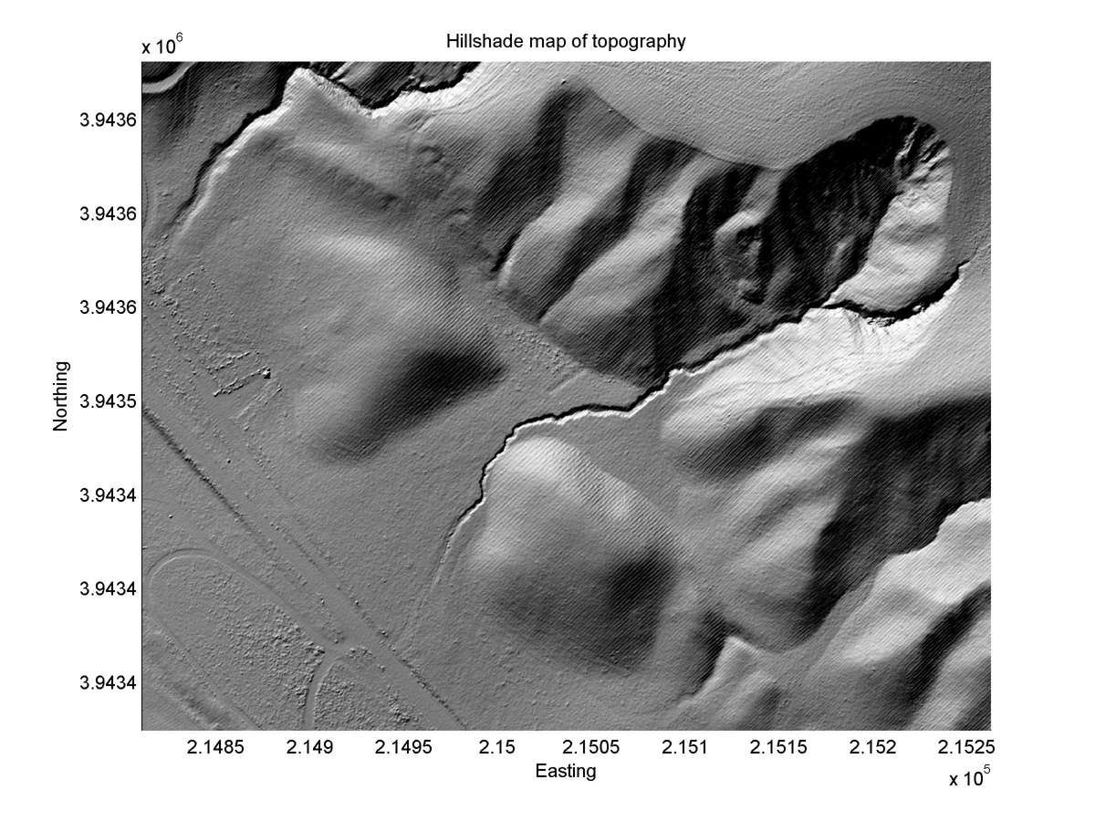
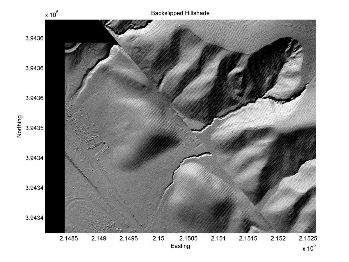
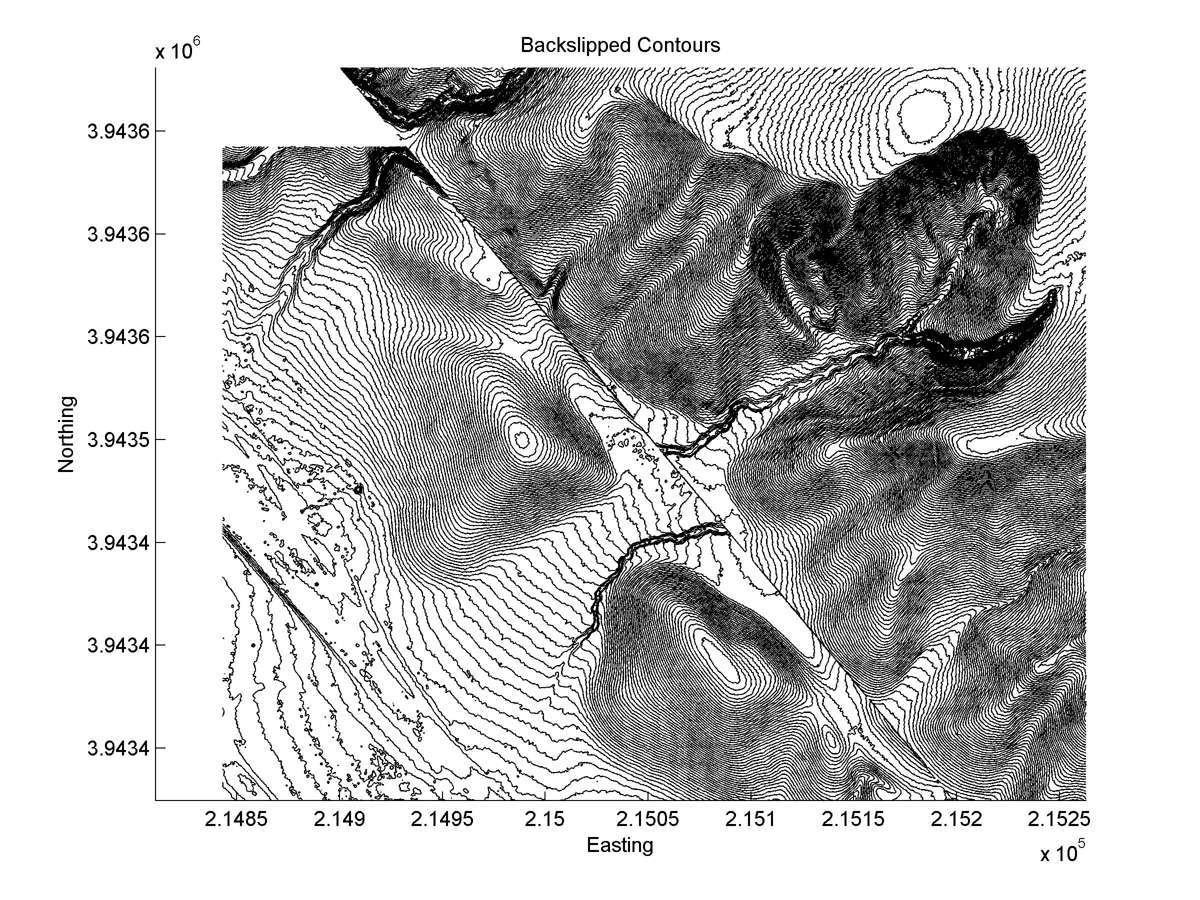
| 35.59427 | -120.14510 | 20.20 km | 50.1 | 43.0 - 57.0 | High-Moderate | Offset large channel. |
| Hillshade with profiles | Topographic profiles and GOF |
 |
 |
| Hillshade plot | Hillshade plot, Optimal back-slip |
 |
 |
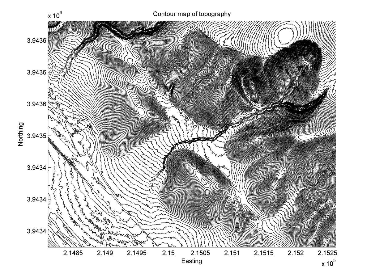
| Contour plot | Contour plot, Optimal back-slip |
 |
 |
| Dist. from Bitterwater road | Offset (m) | Error (m) | Quality Rating | Comments |
|---|---|---|---|---|
| 5.40km | 40 | 10 | high | Broad alluviated canyon. Trenched for slip rate by K.E. Sieh, but stratigraphy destroyed by bioturbation. |