
| Latitude | Longitude | Distance to reference | Best Offset (m) | Offset Range (m) | Quality Rating | Comment |
|---|---|---|---|---|---|---|
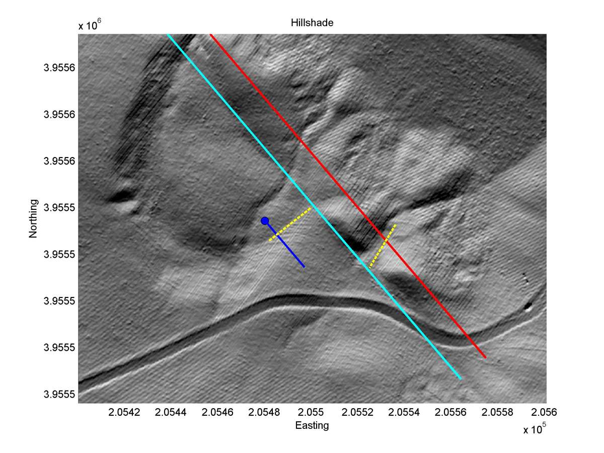
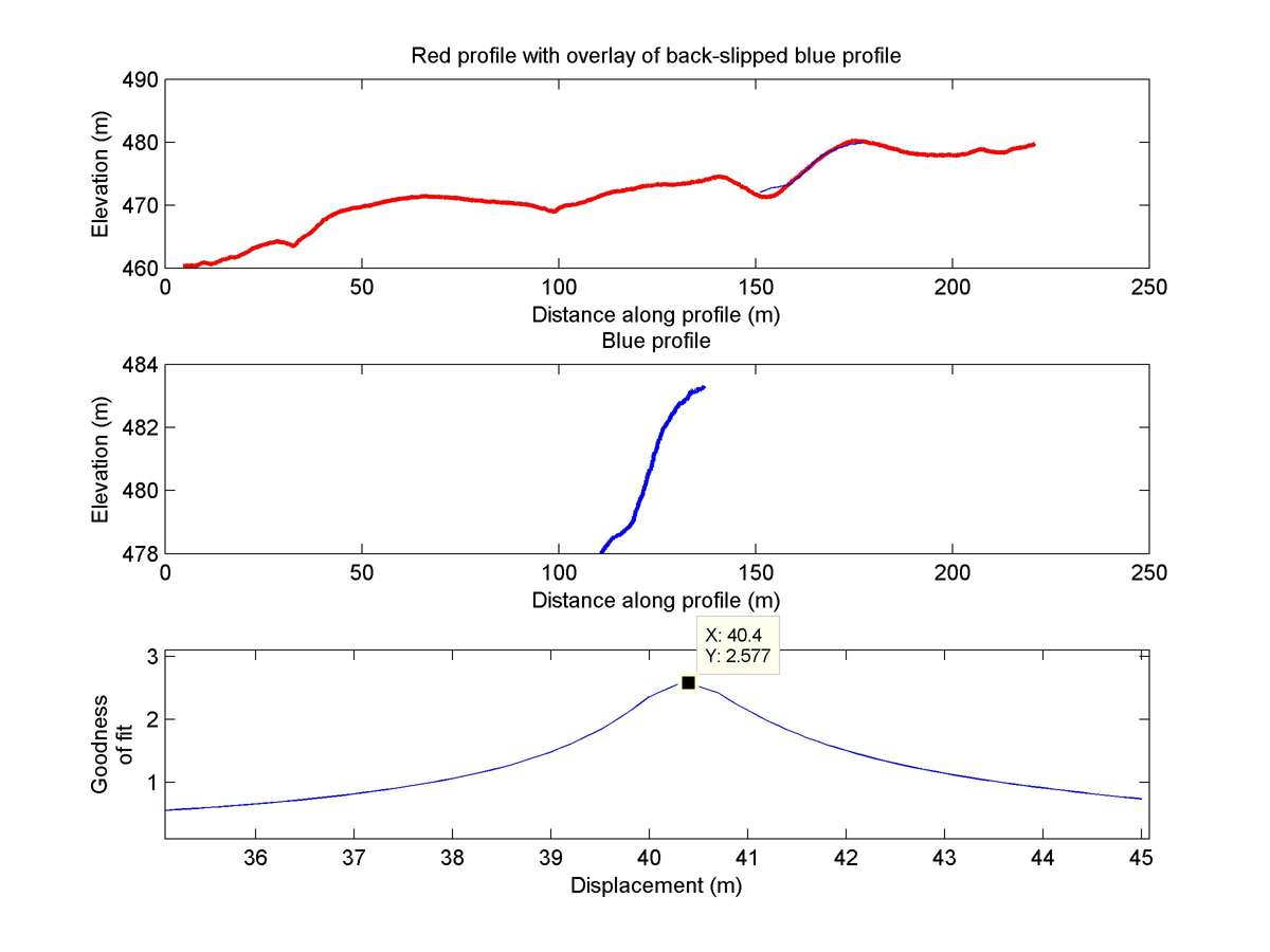
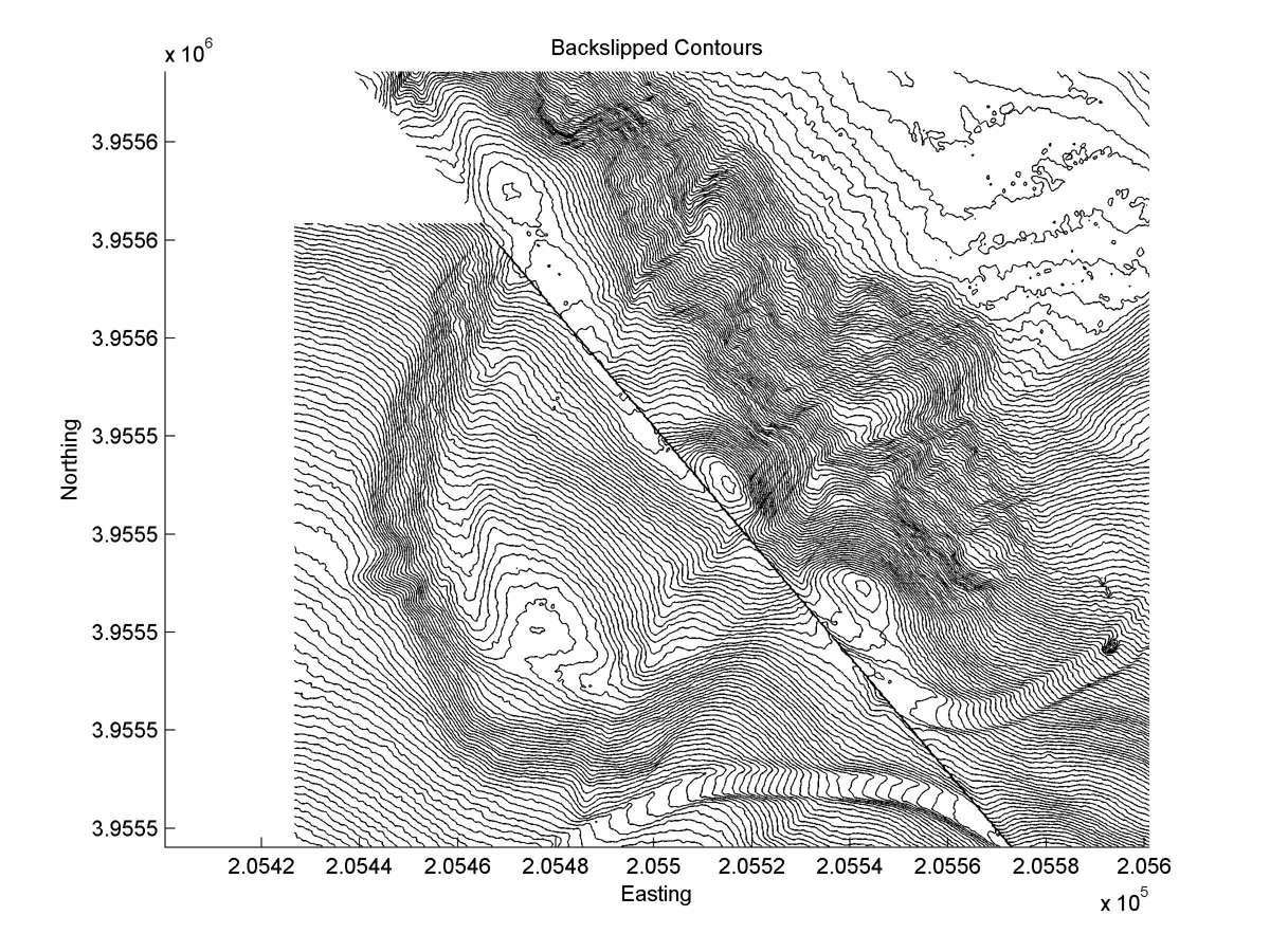
| 35.69971 | -120.25459 | 4.39 km | 40.4 | 37.0 - 43.0 | Moderate-Low | Offset landslide scarp. |
| Hillshade with profiles | Topographic profiles and GOF |
|
|
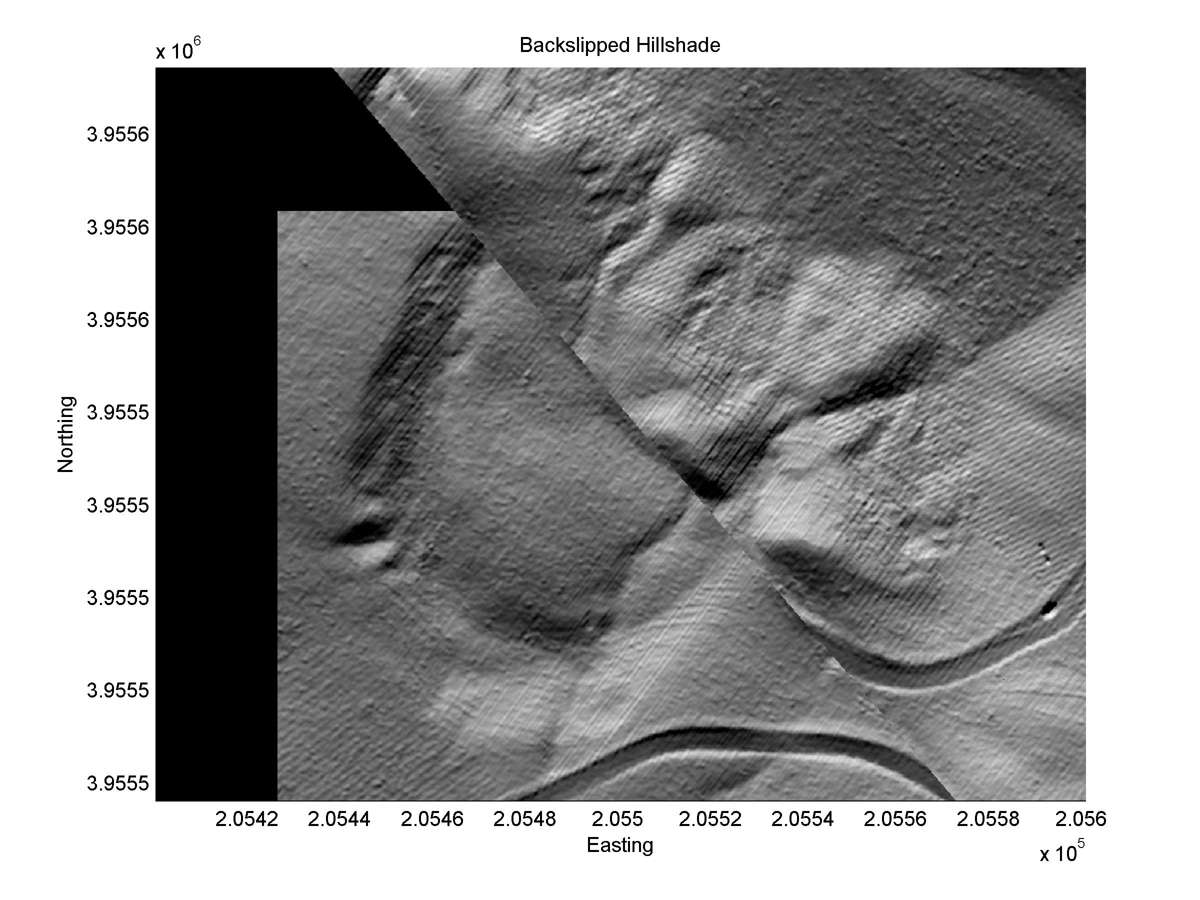
| Hillshade plot | Hillshade plot, Optimal back-slip |
|
|
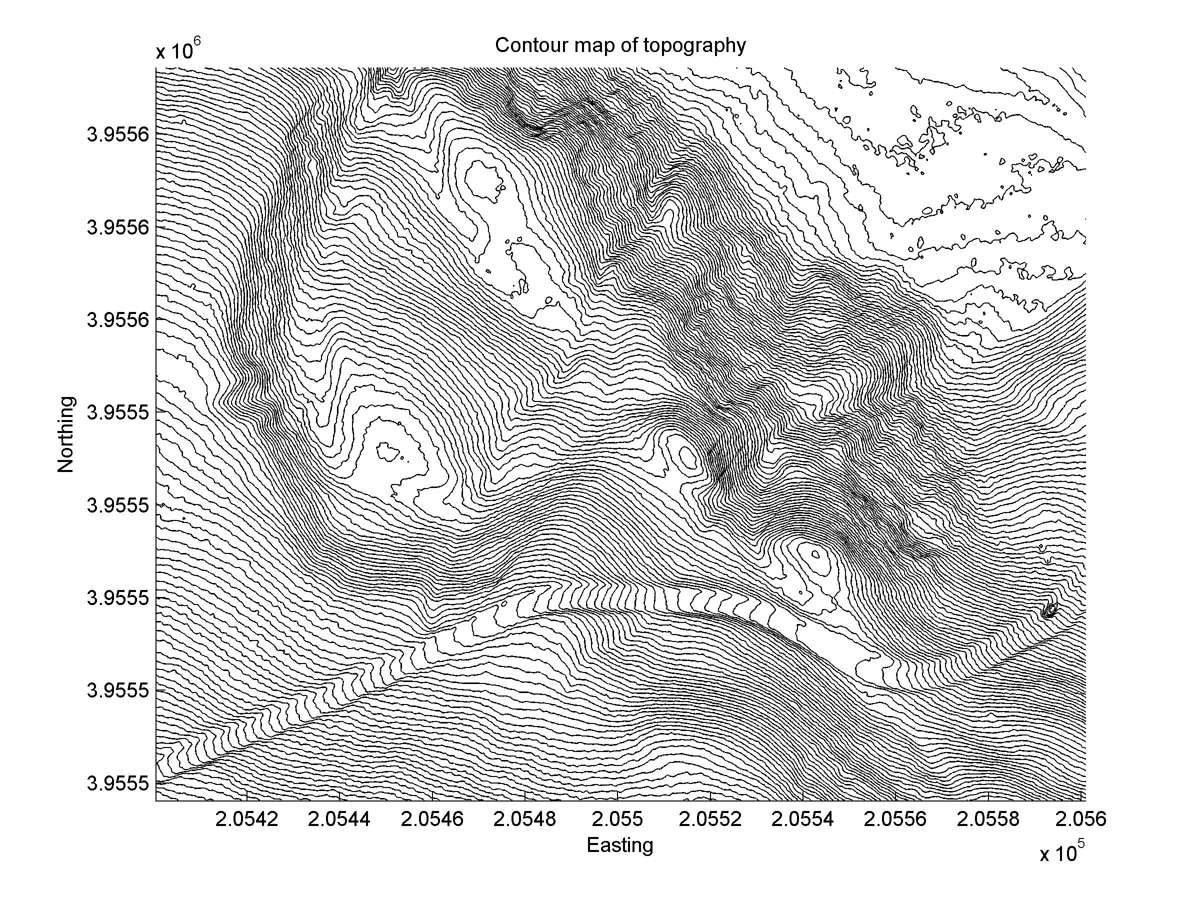
| Contour plot | Contour plot, Optimal back-slip |
|
|
| Dist. from Bitterwater road | Offset (m) | Error (m) | Quality Rating | Comments |
|---|---|---|---|---|
| 20.76km | 40 | 10 | medium | Head and toe of landslide offset by single narrow fault trace. Northwest and southeast edges of ring-shape displaced same amount. |