| Latitude | Longitude | Distance to reference | Best Offset (m) | Offset Range (m) | Quality Rating | Comment |
|---|---|---|---|---|---|---|
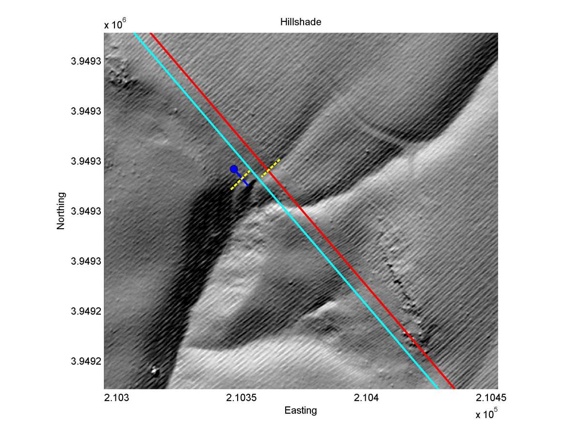
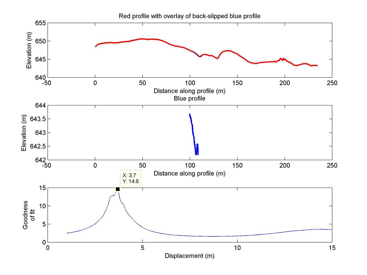
| 35.64504 | -120.19890 | 12.80 km | 3.7 | 3.1 - 4.3 | Moderate | Offset channel. Very short downstream segment lowers reliability. Correlation with Lienkaemper uncertain |
| Hillshade with profiles | Topographic profiles and GOF |
|
|
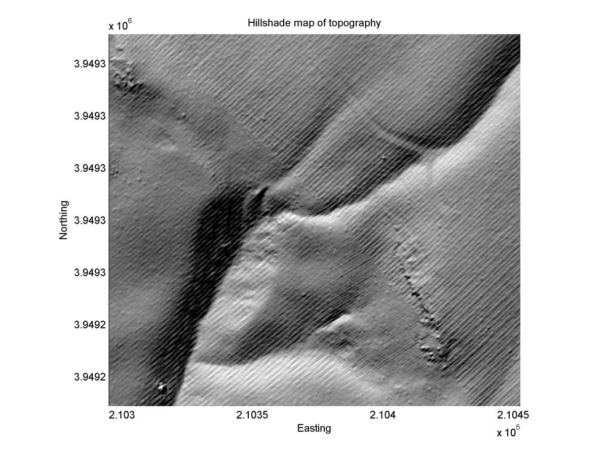
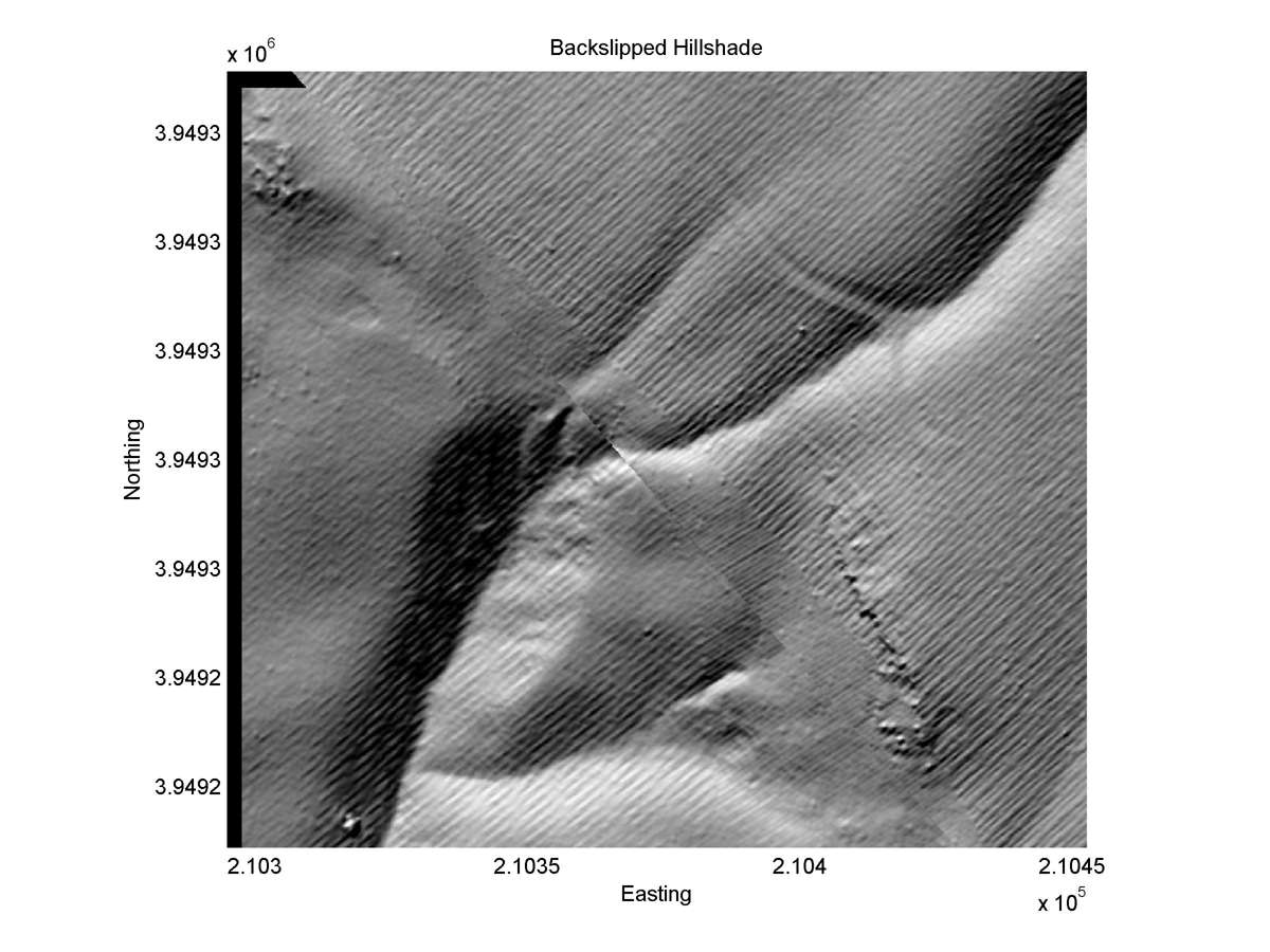
| Hillshade plot | Hillshade plot, Optimal back-slip |
|
|
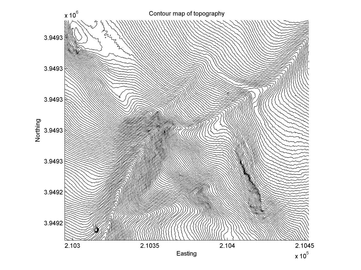
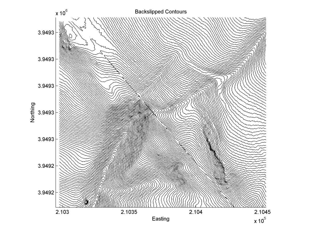
| Contour plot | Contour plot, Optimal back-slip |
|
|
| Offset (m) | Error (m) | Quality Rating | Comments |
|---|---|---|---|
| 3.8 | +/-0.8 | Poor | Two gullies offset at head of large gully. SW gully freshest and sharpest offset--perhaps up to11.3+/-0.8 m total offset. NW gully total offset about 10 m. Poor fault location results in uncertainty. |
| Dist. from Bitterwater road | Offset (m) | Error (m) | Quality Rating | Comments |
|---|---|---|---|---|
| 12.86km | 5.3 | 1.2 | low | Average of total slip on two gullies offset on main and splay faults. Rocky tail segment on 82c makes favored interpretation nonunique. Difficult to estimate uncertainty numerically because of channel complexity. |