
| Latitude | Longitude | Distance to reference | Best Offset (m) | Offset Range (m) | Quality Rating | Comment |
|---|---|---|---|---|---|---|
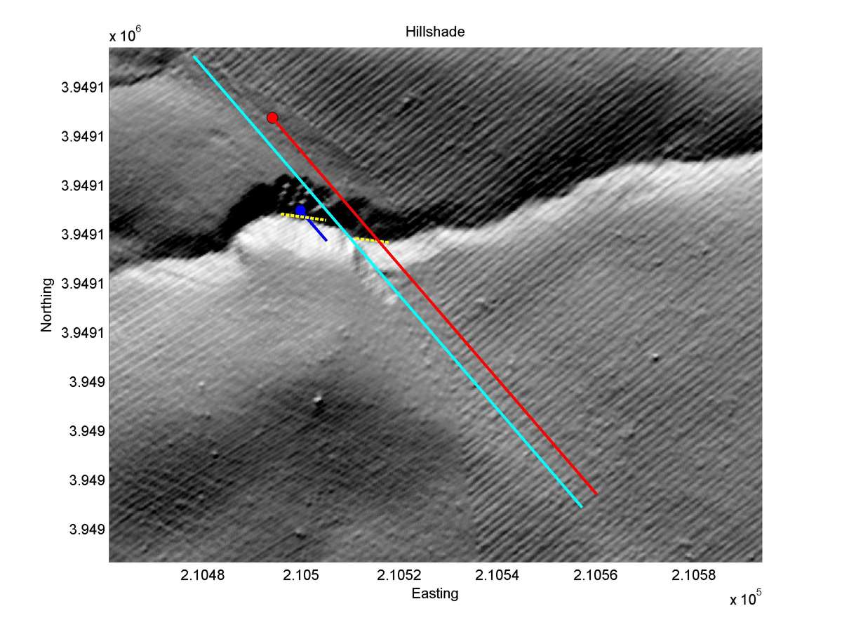
| 35.64308 | -120.19713 | 13.06 km | 3.2 | 2.5 - 3.6 | Moderate-Low | Offset channel. Apparently high erosion around fault zone makes measurement less reliable. |
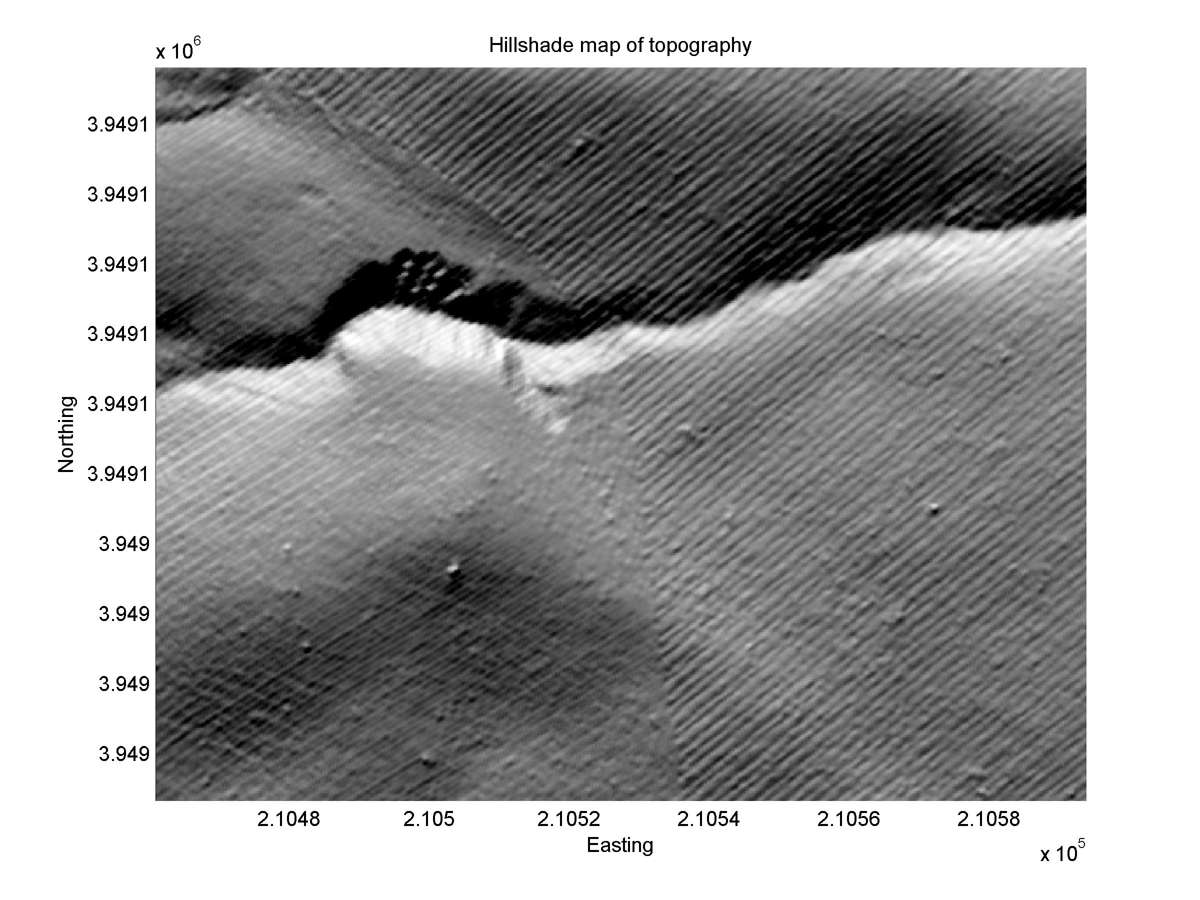
| Hillshade with profiles | Topographic profiles and GOF |
|
|
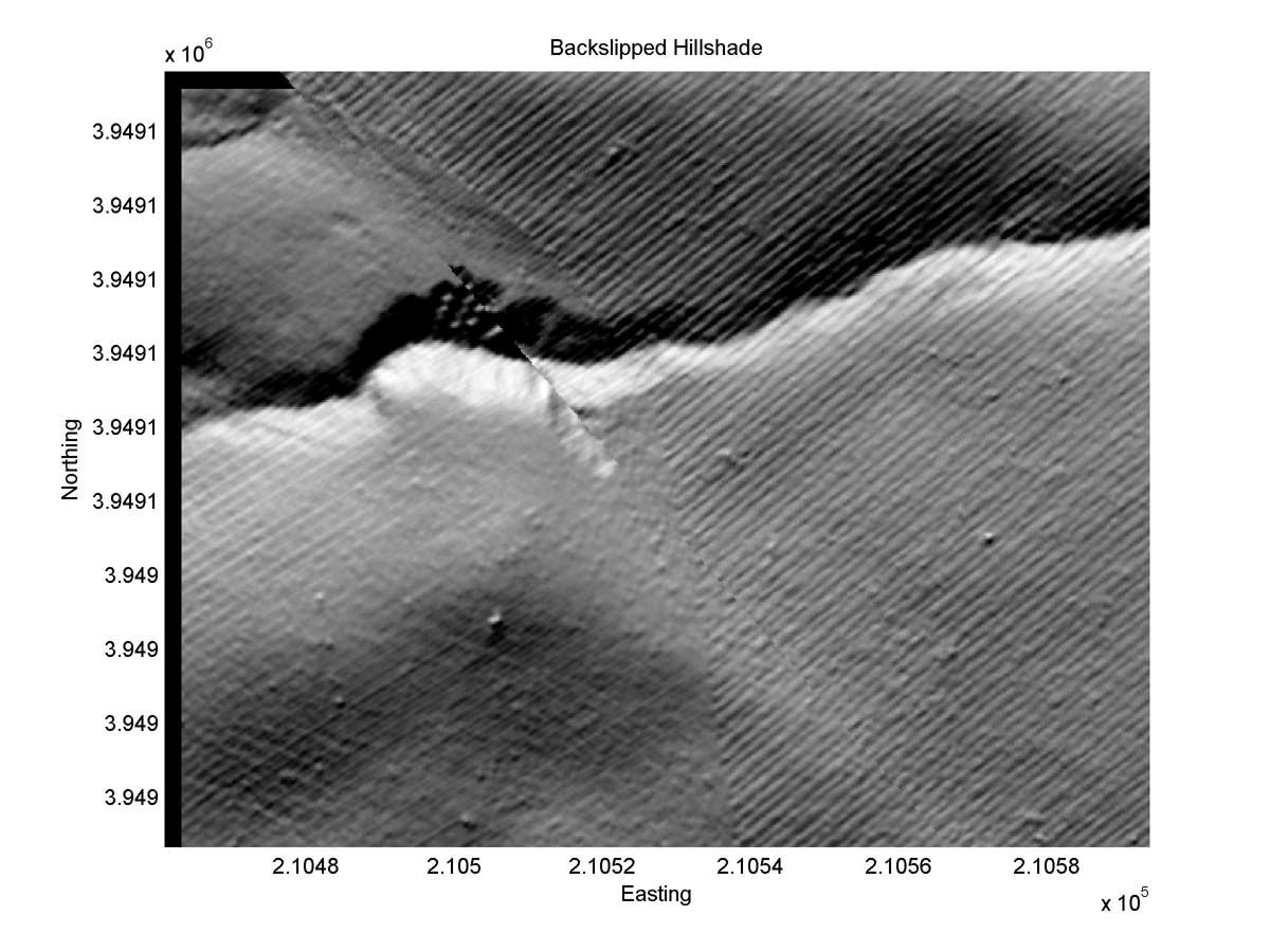
| Hillshade plot | Hillshade plot, Optimal back-slip |
|
|
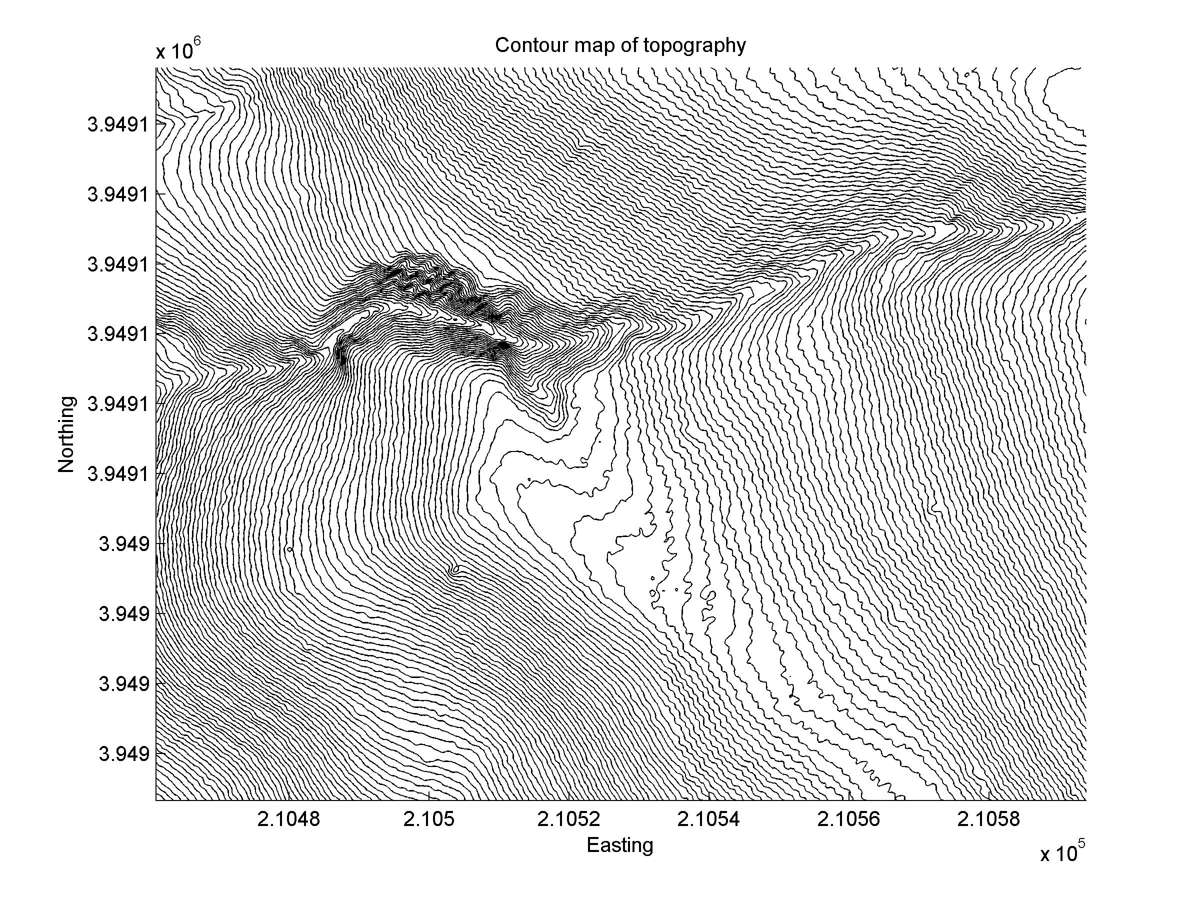
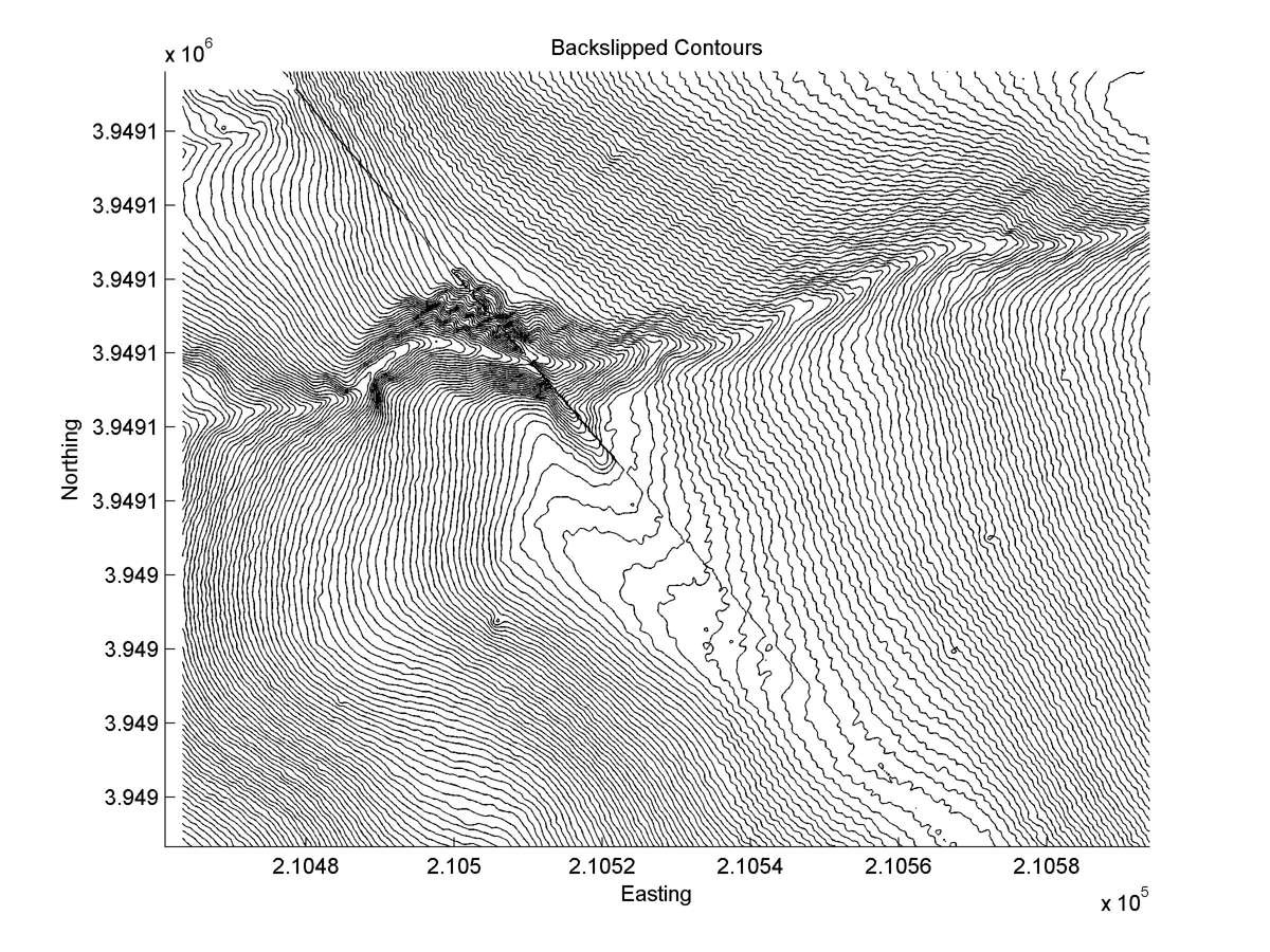
| Contour plot | Contour plot, Optimal back-slip |
|
|
| Offset (m) | Error (m) | Quality Rating | Comments |
|---|---|---|---|
| ~2.0 | +/-0.0 | Good | Minimum value. Free face on SE side of gully. |
| Dist. from Bitterwater road | Offset (m) | Error (m) | Quality Rating | Comments |
|---|---|---|---|---|
| 12.52km | 6 | 3 | low | Tail direction greatly askew from head near fault. Badland erosion makes exact reconstruction impossible. |