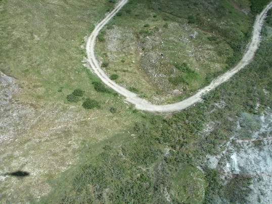
Aerial view of an offset dirt road along the Denali fault rupture. The road is ruptured across a zone 4- to 5-m-wide and two subparallel fault traces right-laterally offset the road 3.6-4.85m. North is toward the top of the photo. Site 03-217, km 163.54. Photo by T. Dawson.

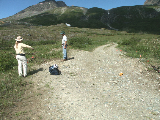
An offset dirt road along the Denali fault rupture, looking north. The road is ruptured across a zone 4- to 5-m-wide and two subparallel fault traces right-laterally offset the road 3.6-4.85m. On the left, H. Stenner is standing in front of one strand (white tape across road) and J. Lienkaemper is standing in front of the second strand. Orange flags mark the edges of the road. Site 03-217, km 163.54. Photo by T. Dawson.

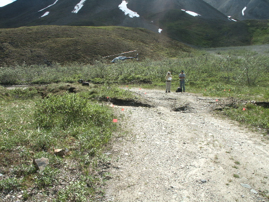
An offset dirt road along the Denali fault rupture, looking south. The road is ruptured across a zone 4- to 5-m-wide and two subparallel fault traces right-laterally offset the road 3.6-4.85m. Both fault strands are in front of the two people. Orange flags mark the edges of the road. Site 03-217, km 163.54. Photo by T. Dawson.