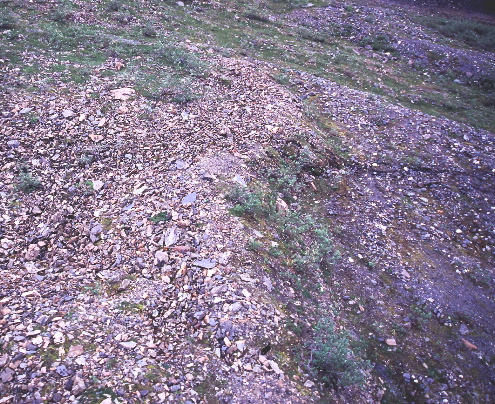
An oblique aerial view of the moraine offset 4.6 +/- 0.1m right-laterally and 0.6 +/- 0.05m vertically along the Denali fault near Slate Creek. The fault trace is present from the middle left to the middle right of the photo. The total rupture zone width is 5.1-m-wide, with the majority of offset occurring across a zone 1.6-m-wide. Site DS-10, km 142.14. Photo by D. Schwartz.

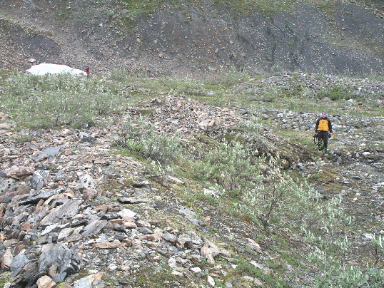
Near Slate Creek, the Denali fault offset a moraine 4.6 +/- 0.1m right-laterally and vertically 0.6 +/- 0.05m, north-side-up. The moraine terminates in the linear, bouldery deposit prominent in the left side of the foreground with the offset equivalent present in the middle of the photo. The fault trace is present from the middle left to the middle right of the photo, D. Schwartz is standing along the trace where the moraine is offset. Site DS-10, km 142.14. Photo by T. Dawson.