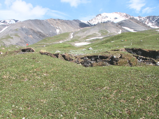
A well defined stream levee crest is offset 5.1 +/- 0.1m right-laterally, 0.56m up to the north, along the Denali fault near Slate Creek. Slip occurs across a 1-m-wide rupture zone, that trends left to right across the photo. Orange flags mark the levee crest on either side of the fault zone. Site DS-21, km 142.59. Photo by T. Dawson.