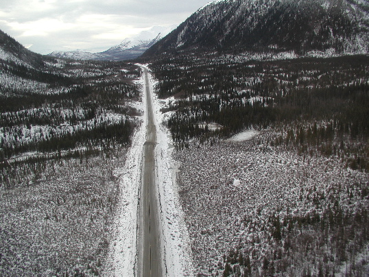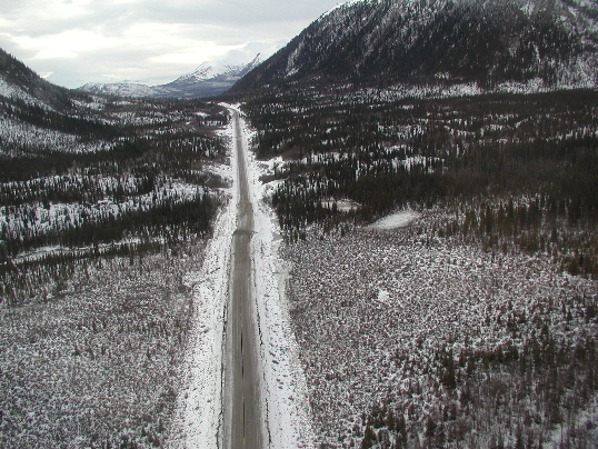
View south from the air of the Tok Cutoff Highway offset by the Denali fault. The right-lateral offset is 6.9 +/- 1.0m. This measurement is the addition of 5.0m of right-lateral slip measured across the brittle fault zone and 1.9m of fault-drag related right-lateral slip. The vertical offset is <1m. Site PH184, km 210.6. Photo by P. Haeussler.

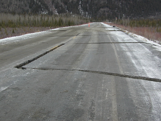
View north of the Tok Cutoff Highway offset by the Denali fault. Note the right-lateral drag of road into the fault zone. The right-lateral offset is 6.9 +/- 1.0m. This measurement is the addition of 5.0m of right-lateral slip measured across the brittle fault zone and 1.9m of fault-drag related right-lateral slip. The vertical offset is <1m. Site PH184, km 210.6. Photo by P. Haeussler.

Southward looking aerial view of the Tok cutoff Highway offset by the Denali fault. Fractures perpendicular to the road are present near the rupture and accommodated bending. 5.0m of right-lateral offset occurred across the main two fault traces and 6.9m of right-lateral offset occurred across the entire rupture zone. Site PH184, km 210.6. Photo by P. Haeussler.