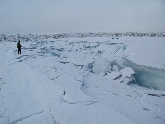
View northwest along the surface trace of the Denali fault on the Black Rapids Glacier. Avalanche debris is visible in the background as the rocky deposit covering the glacier surface. The rupture steps right at this location, resulting in a broad pull apart. Offset snow and ice features indicate 3.9 +/- 0.05m of right-lateral slip and 1.06 +/- 0.05m vertical slip, up to the north. P. Craw stands on fault trace. Site PH305, km 68.08. Photo by P. Haeussler.

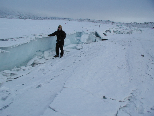
View to the east of the Denali fault scarp on the Black Rapids Glacier. Jon Laravee, helicopter pilot, stands at the fault scarp. Avalanche debris is visible in the distance. Offset snow and ice features showed that the fault in this area produced 3.9 +/- 0.05m of right-lateral slip and 1.06 +/- 0.05m vertical slip, up to the north. Site PH305, km 68.08. Photo by P. Haeussler.

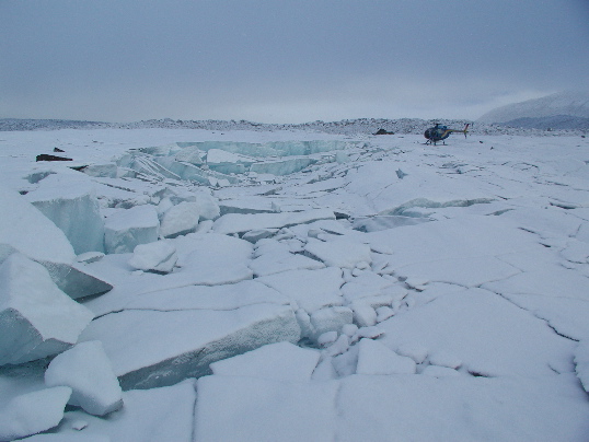
View to the east of a pull-apart in ice of the Black Rapids Glacier. The Denali fault offsets snow and ice features 3.9 +/- 0.05m right-laterally and 1.06 +/- 0.05m up to the north. Avalanche debris is visible in the distance. Site PH305, km 68.08. Photo by P. Haeussler.

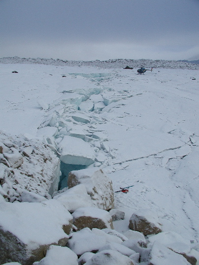
View to the east of the Denali fault rupture through the Black Rapids Glacier. Helicopter for scale in the distance. Offset snow and ice features show slip of 3.9 +/- 0.05m right-laterally and 1.06 +/- 0.05m up to the north. Site PH305, km 68.08. Photo by P. Haeussler.