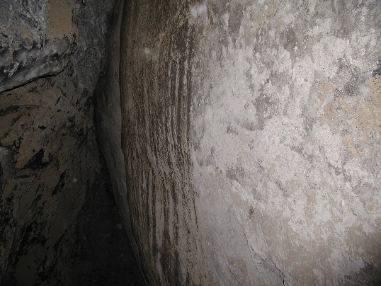
View of a fissure at the site where a cobble is offset 1.7 +/- 0.02m right-laterally and 0.12 +/- 0.03m up to the south. Site PH624, km 248.6. Photo by P. Haeussler.

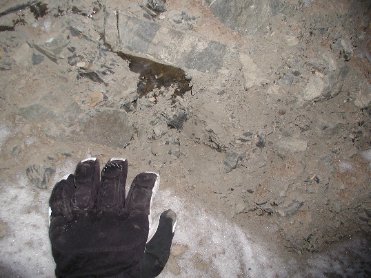
View of a broken cobble in colluvium in permafrost. The other half of the cobble is visible in a separate photograph. The cobble is offset 1.7 +/- 0.02m right-laterally and 0.12 +/- 0.03m up to the south. Site PH624, km 248.6. Photo by P. Haeussler.

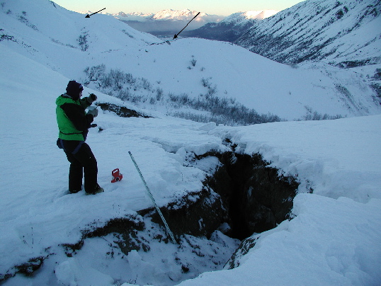
View eastward along the Totschunda fault near locality PH624. View in the distance shows the two splays (arrows) of the Totschunda fault at the southeast end of the transition zone. P. Craw for scale. Offset nearby is 1.7 +/- 0.02m, right-lateral, and 0.12 +/- 0.03m, up to the south. Site PH624, km 248.6. Photo by P. Haeussler.

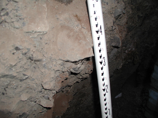
View of a broken cobble in colluvium in permafrost. The other half of the cobble is visible in a separate photograph. Offset of the cobble is 1.7 +/- 0.02m, right-lateral, and 0.12 +/- 0.03m, up to the south. Site PH624, km 248.6. Photo by P. Haeussler.