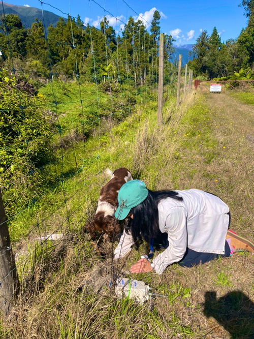
4 September 2024–When Voon Hui Lai came to Australian National University as a postdoc, her department had just acquired a DAS interrogator “and I was basically tasked to make this thing work,” she recalled. “It was my first experience in deploying these really dense seismic sensors.”

Distributed acoustic sensing or DAS uses the tiny internal flaws in a long optical fiber as thousands of seismic sensors. An interrogator at one end of the fiber sends laser pulses down the cable that are reflected off the fiber flaws and bounced back to the instrument. When the fiber is disturbed by seismic activity, researchers can examine changes in the reflected pulses to learn more about the resulting seismic waves.
This October Lai will join her colleagues at SSA’s Photonic Seismology topical conference to discuss her experience in DAS deployment and analysis, and how seismologists are planning to scale up the technology to better understand natural hazards and environmental change.
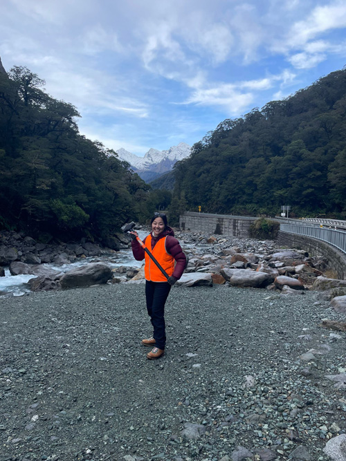
One of Lai’s major DAS deployments was in New Zealand, working with Te Herenga Waka-Victoria University of Wellington Professor John Townend and Australian National University Professor Meghan Miller on the Alpine Fault. “There was a fiber optic cable along the highway, one of the very few roads that crosses the Alpine Fault, and they changed that section into an array,” she said.
“It was exciting to see if I could use it to map this fault zone in detail that was not done before, and look at how shallow structures might relate to fault zone rupture,” Lai added. “DAS is allowing me to ask questions that I was not able to do before.”
Lai faced one unexpected problem along the New Zealand highway: “It is so far away from everything but to my surprise, there is so much traffic!” she laughed. “Why are there so many cars?” Townend connected Lai with computer scientists in Germany who have worked on removing the traffic vibrations to enhance other seismic signals.
At ANU, where Lai is now a research fellow, her work focuses on using a variety of data sets including DAS data to better characterize seismic waveforms. In particular, she is interested in what these waveforms can tell us about the complex processes behind natural hazards.
“We can use this for earthquakes,” she says, “but we can also use it to understand other kinds of environmental hazards—landslide, avalanche, and debris flow.”

Some of the recent funding for the expansion of DAS research in Australia has come from the National Collaborative Research Infrastructure Strategy (NCRIS), Lai said. Under the auspices of AuScope, funded by NCRIS to bolster geophysical research infrastructure, Lai has shared her DAS expertise in local workshops.
DAS data can be collected at a rate of one terabyte per day, so Lai is also working on better ways to deposit and access those data at supercomputing centers. “If we’re interested in continuously monitoring the environment, for instance, how can we do that without having good computing facilities?”
“This has also made me realize that there is a need to design DAS metadata standards for open data sharing,” she added. For traditional seismic data, researchers can download information about the seismic station location, along with how and when the station was deployed, “which helps other researchers come back and use it ten years later, like I did with the USArray,” she explained. “I don’t think people appreciate how much open data like that has accelerated geophysical science.”
DAS can be useful for seismic monitoring in remote places where setting up a traditional seismic array could be too difficult or too costly, Lai noted. She was part of a DAS deployment monitoring avalanches in Milford Sound, South Island, New Zealand, which was “a very beautiful part of the world. I have never seen mountains of that size and proportion, so tall and so in your face.”
But DAS is also useful in monitoring dense urban environments. She added. “The Melbourne one, I’ve never been able to get really good Australian coffee and croissants for breakfast and then go out and do fieldwork in the city. That was a very luxurious deployment for me.”
Lai, who was born in Malaysia, was encouraged to pursue geoscience education by her father. “He noticed that I liked National Geographic, looking at nature, and he thought I might be interested in a geoscience degree,” she said.
An undergraduate class field trip at University of California, Berkeley with Doug Dreger and Michael Manga “was the first time I saw rocks from the subduction zone and plate tectonics at work,” she recalled. “It played into my nature of being very observant as a person, and I was happy that I could use geophysics to put meaning to what I observed.”
Now that Lai is back in the Southern Hemisphere and closer to Southeast Asia, “I am wondering how I can use this expertise in understanding hazards for societal benefits,” she said. “Eventually I can find avenues towards making meaningful contribution in policy and hazard reduction.”
“I am really lucky to have found this as a career,” she added. “If I work on the foundation, really get the science right, then those opportunities will hopefully line up.”
SSA At Work is a monthly column that follows the careers of SSA members. For the full list of issues, head to our At Work page.
