16 April 2025—In places where earthquakes rupture the Earth’s surface, scientists often try to predict the location of these future fault ruptures based on the geological fault traces created in past earthquakes. But how accurate are these fault traces in predicting the next rupture location?
At the Seismological Society of America’s Annual Meeting, Arizona State University researcher Chelsea Scott shared the results of recent research evaluating this question. Scott and her colleagues trained students from Arizona State and the University of Nevada-Reno to use satellite imagery and lidar topography data to produce fault maps in regions where seven major earthquakes occurred between 1983 and 2016.
The students completed the fault mapping using data that were collected before the major earthquake, so “they could then compare their fault locations mapped in the landscape before the earthquake to the actual subsequent surface rupture location,” Scott explained. The students had no or very limited prior knowledge of the specific earthquakes. The researchers found that the mapped faults predicted between 12% and 68% of the main ruptures, and calculated an average distance of 15 to 30 meters separating their predicted ruptures and well-mapped faults.
“This study generally shows good success at anticipating future rupture location but also that in the geology community, we have room to improve and systematize our fault mapping skills,” Scott noted. “And this is from the perspective of how well we can anticipate the location of ruptures in the next earthquake. And that’s very different from and more challenging than mapping faults that have already left a mark on the landscape.”
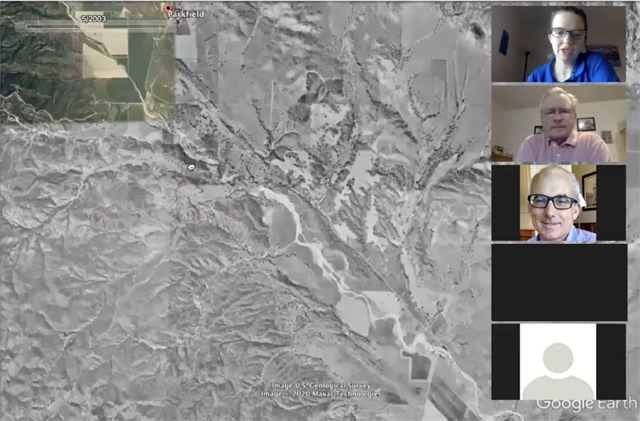
The events examined in the study were the 1983 magnitude 6.9 Borah Peak earthquake in Idaho, the 2004 magnitude 6.0 Parkfield and 2014 magnitude 6.0 South Napa earthquakes in California, the 2010 magnitude 7.2 El Mayor–Cucapah earthquake in Mexico and California, the 2011 magnitude 6.7 Fukushima-Hamadori and magnitude 7 Kumamoto earthquakes in Japan, and the 2016 magnitude 7.8 Kaikoura earthquake in New Zealand.
Researchers from Pacific Gas & Electric supported the research and are co-authors on the study, Scott noted. “They are motivated to understand how to make their critical infrastructure safer in future surface-rupturing earthquakes. Through their support, they are helping to advance geologic practice and the application of this knowledge.”
Although it is nearly impossible for linear gas, water, power, transportation, and telecommunication lifelines to completely avoid crossing faults in parts of California, information about where earthquakes may rupture in the future can inform the placement and seismically resilient design for this infrastructure.
Scott pointed to a famous example where the Trans-Alaska Pipeline was outfitted with Teflon “shoes” to slide along steel beams to accommodate fault movement where it crosses the Denali Fault. The design was informed by geological surveys that precisely located the fault and predicted how it might shift horizontally and vertically. In 2002, the system protected the pipeline from catastrophic rupture after a magnitude 7.9 earthquake where the fault shifted within the expected parameters.
Mapping faults from surface traces can be challenging for many reasons, Scott noted. “Through time the earth erases evidence of past earthquakes,” she said. Surface processes like erosion and deposition can erase or bury fault traces and new building developments or farming can make faults hard to detect.
Even when the evidence for a fault is clear, it doesn’t necessarily follow that the next earthquake will rupture at the same location, Scott cautioned. “The earthquake can rupture a new fault or an older fault that was more subtle in the landscape.”
The researchers are now working on ways to improve fault mapping. They are building tools to help students and experts refine their mapping approach. They are also developing “an easy-to-use tool that a mapper could use to plot the uncertainty in their mapped fault location,” said Scott. “These tools are designed to improve the fault mapping process including the assignment of location uncertainty to each fault trace. This information is critical to engineering in seismically active areas, for example, in selecting an appropriate site and designing the infrastructure given the risk posed by earthquake surface ruptures.”