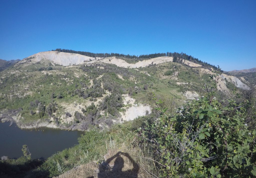
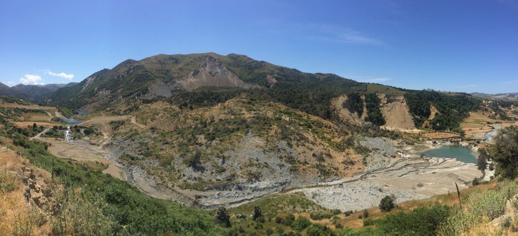
27 March 2018–Hours after the 2016 Kaikoura earthquake hit New Zealand, researchers were able to share information with first responders about where significant landsliding might have occurred to block roads and rivers, according to a new report in the Bulletin of the Seismological Society of America.
The modeling approach used to predict earthquake-related landslides was in the middle of being tested in New Zealand when the Kaikoura quake offered a serendipitous opportunity to test its capabilities, said Tom Robinson of Durham University in the United Kingdom.
Robinson and his colleagues were able to model landslide locations and runouts (the maximum distance landslide debris travels) within 24 hours of the event and produced a second, refined model 72 hours after the event. The modeling predicted that landsliding would be widespread and could impact major roads and numerous rivers. While the approach performed well at predicting road blockages, it overpredicted the occurrence of landslides in general, which limits the model’s use in determining the exact location of all landslides.

However, this near-real time analysis allowed members of the New Zealand Civil Defence and other responders to plan reconnaissance flights over the affected regions to determine where the landslides might cause further damage.
“For me, that’s the really exciting thing about this research, that we’re actually able to translate hazard knowledge into ‘here is where the impacts could be’ and ‘here are where losses could be as a result of that,’” said Robinson.
“Landslides used to get forgotten a lot in earthquakes, but that is changing now,” he said, after recent studies have confirmed that significant damage to infrastructure such as roads often results from subsequent landsliding, and not the ground shaking that occurs during an earthquake.
In mountainous regions such as in Nepal or China, up to 25% or more of earthquake fatalities can come from landsliding, Robinson noted.
A landslide inventory completed after the magnitude 7.8 Kaikoura event counted more than 10,000 landslides, blocking roads, rivers and railways, and damaging agricultural areas, according to another BSSA study led by Chris Massey of GNS Science in New Zealand.
Robinson said the Kaikoura earthquake did comparatively little damage to buildings in New Zealand, a country with strong earthquake building codes, “yet the landslides on the roads, particularly State Highway 1, which was the main road that was affected, have been catastrophic.”
When he visited the region in November 2017, a year after the earthquake, only one lane of State Highway 1 had been opened and the road remained closed overnight and during strong rain, including a cyclone that washed new debris into the roadway. The estimate for restoring the highway to full capacity is close to NZ$1 billion, Robinson said.
Landslides are “extremely complicated to predict” and are most often studied after the fact, he noted. To remedy this, he and his colleagues have developed modeling approaches that draw from recent global data collected on landslide hazards, “to see if we can learn something from multiple events and use that to predict where landslides might happen in future events elsewhere.”
The researchers combined these data in their model with information on landslide reach angles, a measurement that helps determine the maximum runout. Their model is one of the first to attempt to predict where landslides might block roads and dam up rivers after an earthquake in near real-time.
Information on both of these impacts, but especially landslide dams, is important for first responders, “Landslide dams often happen in remote, difficult terrain, and are often spotted only by chance,” said Robinson. “These dams can overtop and cause outburst flooding very quickly, and can be very dangerous to downstream communities.”
The New Zealand model was designed to predict the likelihood of landslides occurring in 25 x 25 meter cells across the affected area. To verify the model, an inventory of landslide points collected after the earthquake was used. The model’s overprediction tendency might be an artifact of how these landslides are represented by points, Robinson said, since a large landslide might in reality encompass hundreds or thousands of cells.

Fixing the overprediction problem might also require knowing more about the factors that drive landsliding, he said. “There are also so many different factors that contribute to landsliding, and even if we know relatively well what those factors are, it still seems to be somewhat random whether a slope will fail or not.
“For instance, we know shaking and slope angle drive the majority of landsliding, but in that part of New Zealand, you have high slope angles everywhere, and everywhere got shaken strongly, but not every slope fell down, so there are other intricacies at work there,” he added.
Modeling after the Kaikoura earthquake had to be done manually, but automating the program could significantly reduce the time needed to make landslide predictions after an earthquake, Robinson said.
He and his colleagues say more high resolution global data on landslides, including 3D satellite imaging, could help refine the landsliding model and allow it to be used around the world. But storing and manipulating these data would require more computer capacity, Robinson noted. “At the moment this is just done on a simple desktop like somebody might have at home.”
“In the immediate hours after an earthquake, it’s not possible for us to get satellite imagery to map every single landslide,” he said. “This is where we think modeling could potentially fill a gap, in the days after an earthquake when responders need information.”
